Ruta de Senderismo Agosto 2013
Arona
Dificultad : Moderado
Distancia : 5'5 kilómetros --2 horas -señalizado
Inicio : Antiguo restaurante la Granja -- final en el mismo lugar
Esta es una ruta pequeña por la ladera norte de Roque del Conde,para empezar a la salida del pueblo de Arona en una recta tenemos una única salida a la izquierda ,es ahí donde se encuentra el antiguo restaurante la Granja,tomamos dirección al Barranco del Ancón y seguimos el sendero Camino de Suarez que nos llevaría hasta Ifonche ,tras unos 300 metros encontramos una casa en ruinas con un horno en buenas condiciones,luego bajamos al cauce del Barranco del Rey y caminaremos de frente hacia la orilla de una degollada sobre Adeje con Roque Imoque a la derecha ,Roque del Conde a la izquierda y Roque los Brezos al frente, justo ahí tenemos la opción de subir a Roque del Conde siguiendo unas marcas verde en las rocas,pasamos por una era, pero no es muy recomendable ya que tiene unos pasos muy expuestos y tendremos que destrepar algunas veces casi llegando a la cumbre ( yo abandoné , no es recomendable mejor bajar sin tenemos dudas por los pasos difíciles ) desandamos el camino para en la vuelta acercarnos a una casa en ruinas con una era en el camino hasta Vento ,para volver a bajar al cauce de Barranco del Rey y terminar en el punto de partida.
No es una buena idea subir a la cumbre de Roque del Conde por este camino .Por seguridad ( es muy peligroso ) es más recomendable subir por el barrio de Vento (digamos sendero sur ).
Wanderroute August 2013
Arona
Schwierigkeit: Moderate
Entfernung: 5'5km - 2 Stunden - ausgeschildert
Startseite: Alte Bauernhof Restaurant - Finale an der gleichen Stelle
Dies ist eine kleine Tour durch den Nordhang des Roque de el Conde, am Ausgang der Stadt Arona in einer geraden beginnen haben wir einen einzigen Ausgang auf der Links Seite, es ist dort wo der alten Farm Restaurant, wir nehmen an der Schlucht von den Ancon und folgen Sie der Pfad-Suarez-Straße, die uns zu Ifonche, nach etwa 300 Meter, ein Haus in Schutt und Asche mit Ofen in gutem Zustand zu findendann gingen wir ins Bett der Schlucht des Königs und der Spaziergang mit Blick auf das Ufer des ein mordender an Adeje mit Roque de el Conde, Roque Imoque rechts links und Roque Heide nach vorne, rechts gab es die Möglichkeit zum Hochladen, Roque de el Conde folgende Marken auf den Felsen, Grüne Zeitalter durchgemacht, aber es ist nicht dringend empfohlen, da es hat einen sehr exponierten Schritte und Destrepar manchmal fast der Gipfel (Ich habe, es ist nicht empfehlenswert, besser dran ohne erhalten habe Zweifel durch die schwierige Schritte) wiederum gehen zu einem Haus in Schutt und Asche mit einer Ära auf dem Weg zur Vento, hinab in die Schlucht des Flusses König und endet am Ausgangspunkt zurückverfolgen.
Es ist keine gute Idee-Aufstieg auf den Gipfel des Roque de el Conde auf diesem Weg.Von Safety (sehr gefährlich) ist es mehr empfehlenswert, durch die Vento (Nehmen wir an South trail )
Hiking route August 2013
Arona
Difficulty: Moderate
Distance: 5'5 km - 2 hours - signposted
Home: Old farm restaurant - final in the same place
This is a small tour of the northern slope of Roque de el Conde, to begin at the exit of the town of Arona in a straight we have a single exit on the left, it is there where the old restaurant farm, we take to the ravine of the Ancon and follow the path Suarez road that would take us to Ifonche, after some 300 meters to find a house in ruins with an oven in good conditionthen we went down to the bed of the ravine of the King and walk facing the shore of a cutthroat on Adeje with Roque de el Conde, Roque Imoque right left and Roque heaths to the front, right there have the option to upload to Roque de el Conde following brands green on the rocks, went through an era, but it is not highly recommended since it has a very exposed steps and have to destrepar sometimes almost the Summit (I left, it is not recommended to get better off without have doubts by the difficult steps) retraced to in turn go to a house in ruins with an era on the road to Vento, to go down to the ravine of the King River and end at the starting point.
It is not a good idea climb to the peak of Roque de el Conde along this road.By safety (very dangerous) it is recommended to climb through the Vento neighborhood (Let's say South trail )
 |
| inicio |
 |
| comienzo del camino suarez |
 |
| horno |

 |
| casa en ruinas |
 |
| roque del conde |
 |
| adeje desde la degollada |
 |
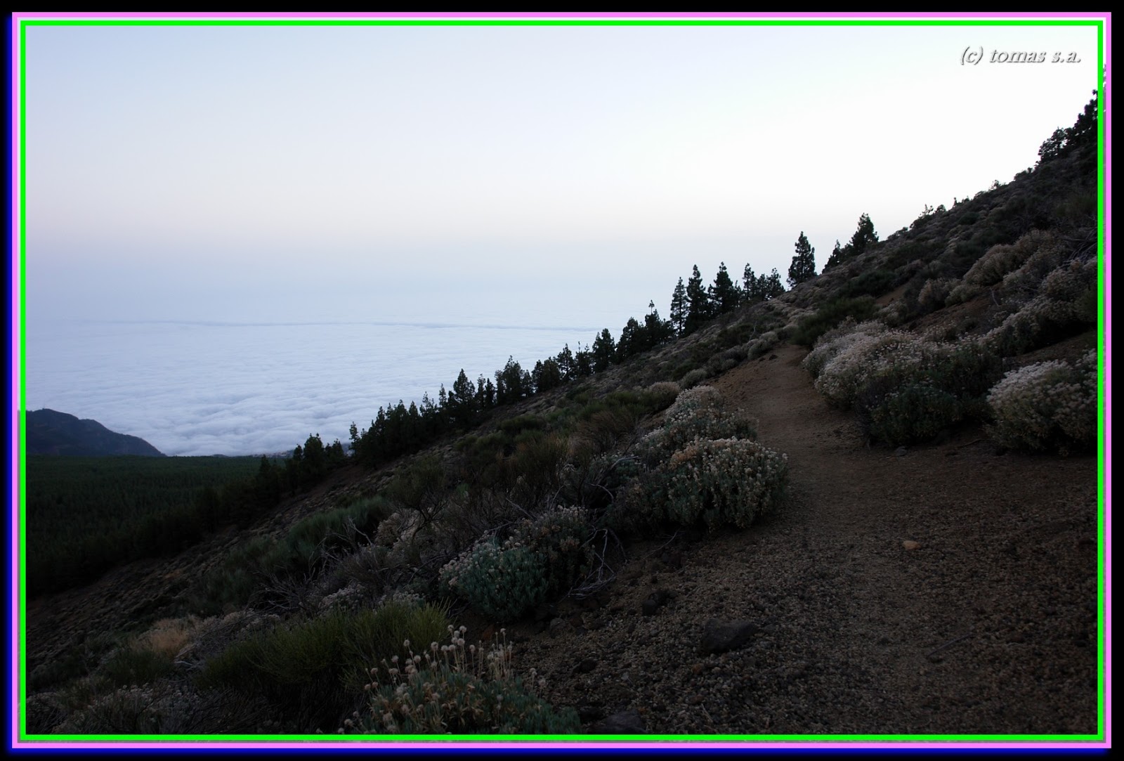
| mar de nubes |
 |
| roque los brezos |
 |
| camino hacia imoque e ifonche |

 |
| camino peligroso de subida a roque del conde |
 |
| una era en la orilla de la degollada |

 |
| tramo peligroso del sendero |
 |
| una era |
 |
| roque del conde |

 |
| barranco del rey e imoque |
 |
| regresando al punto de partida |